Happenstance
I had hoped to make a couple of day trips outside of Cuenca. As luck would have it, we met a Canadian couple in the gringo bar below the apartment on our first night. They gave me the contact information for a guide (Orlando Siguenza – see below) they really liked and mentioned that he was into bird watching. He was more than happy to set us up with a custom outing combining a waterfall tour that I’d seen advertised with some bird watching.
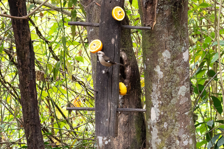
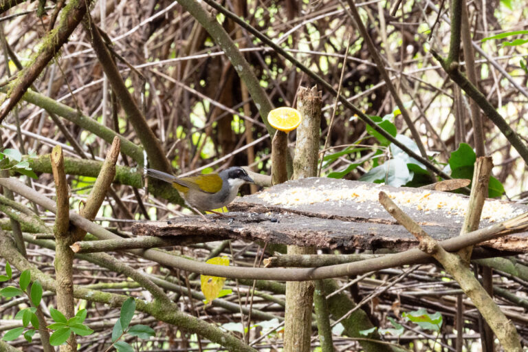
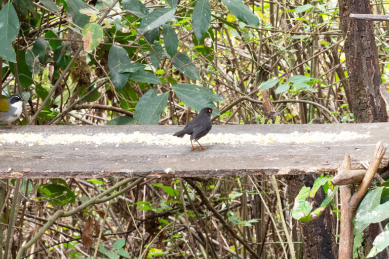
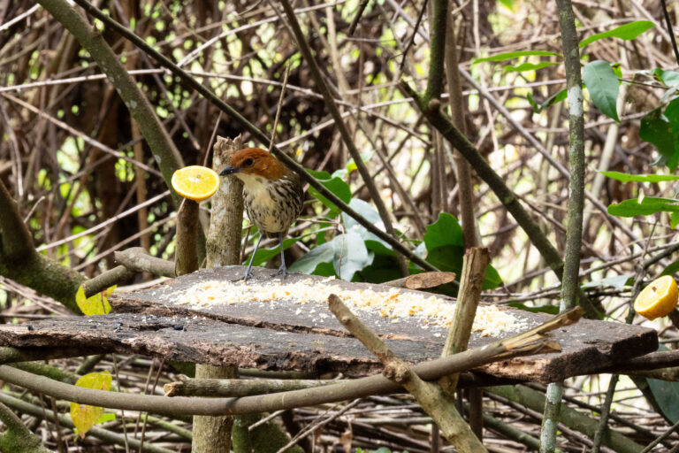
First, we went to Yunguilla Valley Reserve which took us along the famous Pan American Highway (the longest road in the world). In places the road was just slipping down the hillside due to geologic and seismic activity. Jerry asked Orlando about the warning signs and he said this kind of damage is common. The reserve is run by the private Jocotoco Foundation so, we had to pay for a guide from the reserve separately but, it was well worth the expense. Ahnil was excellent at both spotting birds and identifying them by their song. This land is protected in order to preserve the habitat of the endangered Pale-headed Brush finch. At one point this bird was thought to be extinct but, breeding pairs have now increased. After catching glimpses of it on the hike in, I was able to get some photos at the feeding station. Orlando was super excited as he had never seen this bird either. This was my first time using my new ‘long’ lens. It will take some more practice to get good bird photographs.
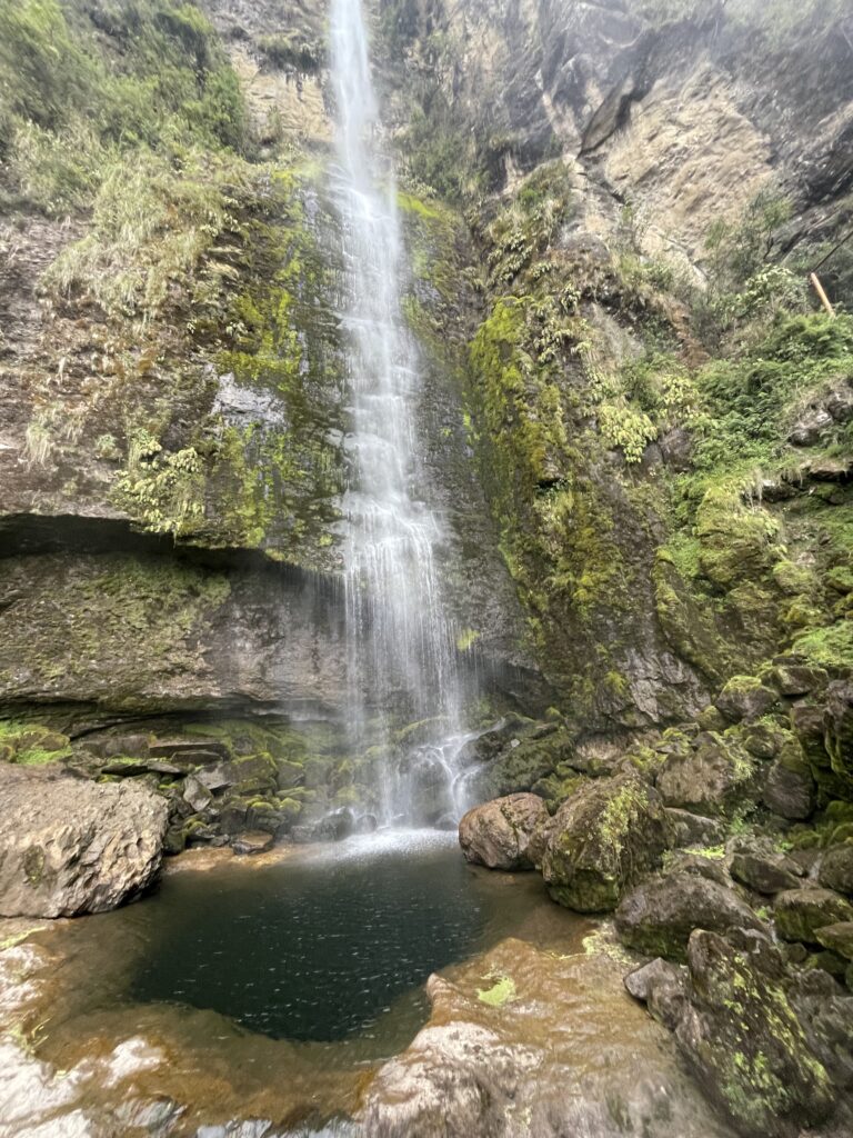
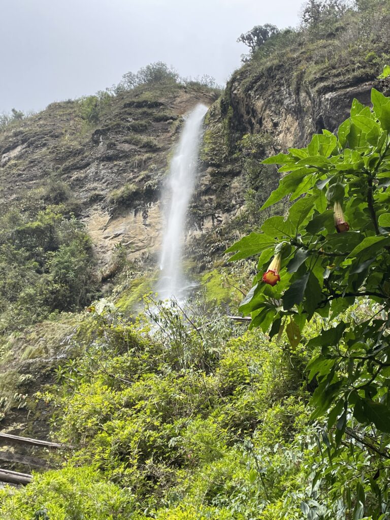
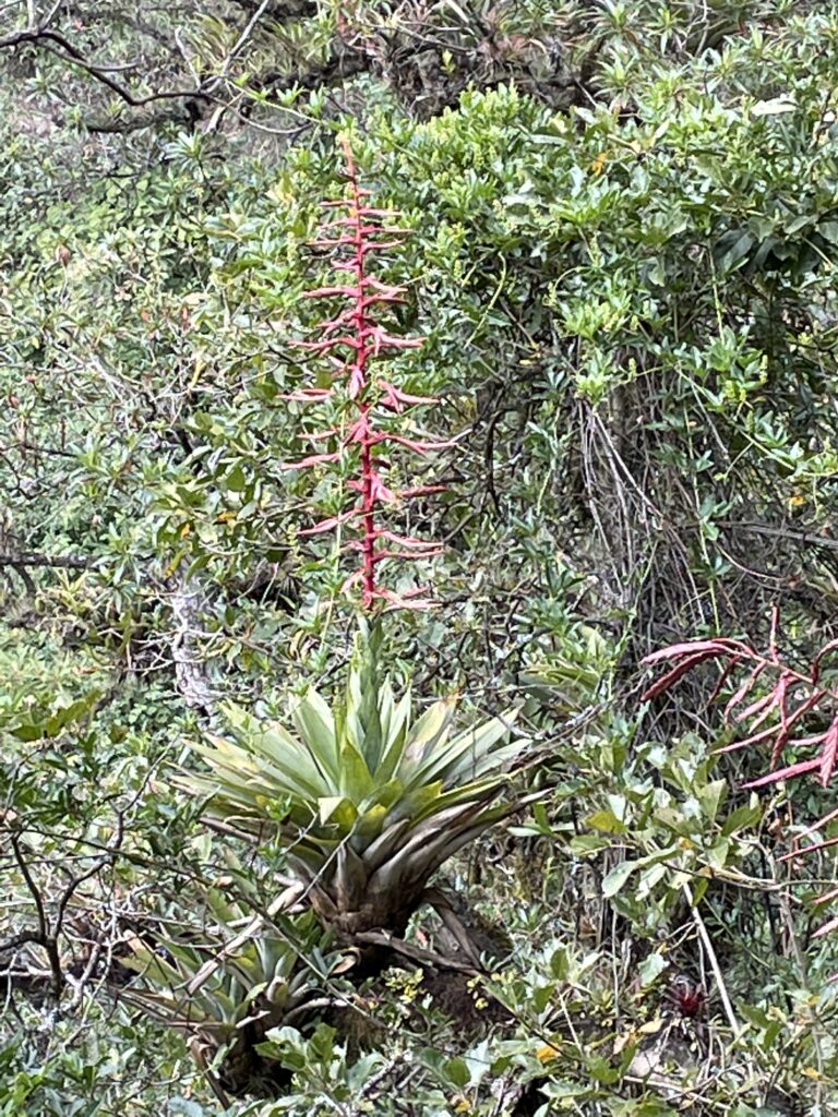
We finished our day at El Chorro de Giron. This waterfall is 70 meters high and there are two more waterfalls above it that you can hike to but, we didn’t have time (and hiking up a steep, muddy trail at that elevation didn’t sound all that fun). There are ziplines here but, we didn’t see anyone using them on the day we went. This environment here was much different than the dry montane of the preserve. It sits in a cloud forest. Jerry and Orlando were able to spot a Turquoise Jay while I went into the bathroom. The walk up to the waterfall is very beautiful with ferns, moss and orchids in abundance. The waterfall was spectacular and we were able to enjoy it by ourselves. We lucked out and the rain held off until we got back down to the car park.
Caja National Park
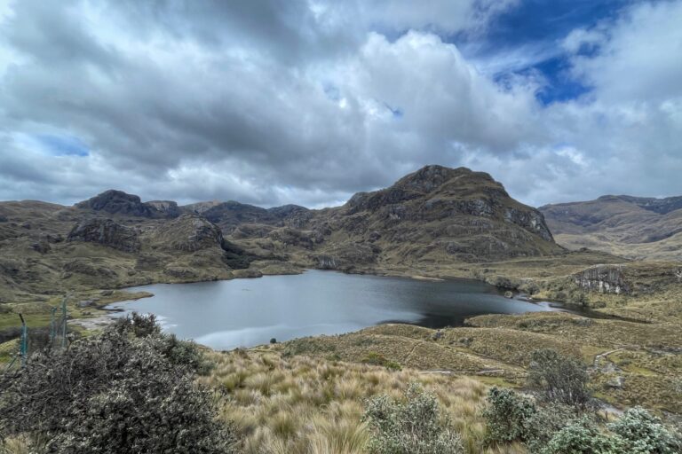
This park protects land that spans the western most point of the Continental Divide in Ecuador and has over 700 lakes.
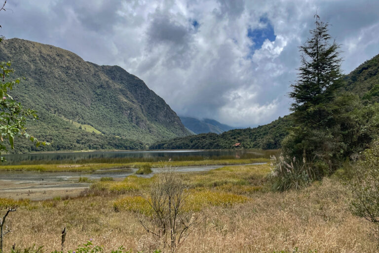
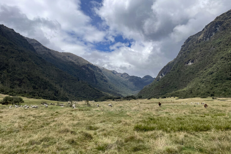
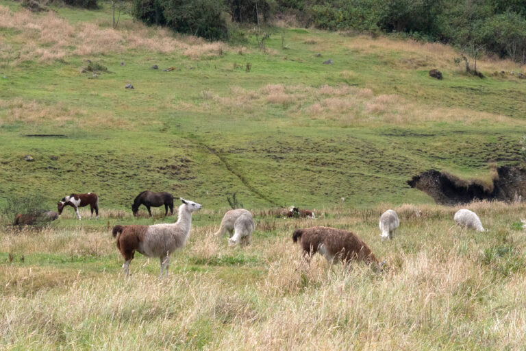
I had booked a trip to Caja National Park using a cyber Monday deal. Three days before, the tour operator contacted me to let me know that the road to the park was closed for repairs. This road also connects Cuenca with Guayaquil on the coast. I rebooked for the day after the repairs were scheduled to be completed. Repairs were not completed on time and the tour company suggested I just cancel and they would contact me when the road reopened. I decided I should just book a tour with Orlando (the original company never contacted me again). He again set up a tour that included bird watching. One lane of the road had been reopened about a week and half after the closure. The slide area was 200 meters long and it looked like at least one home had been destroyed. One of the surprising things about this national park is that it was free to enter.
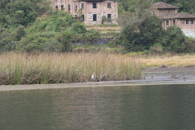
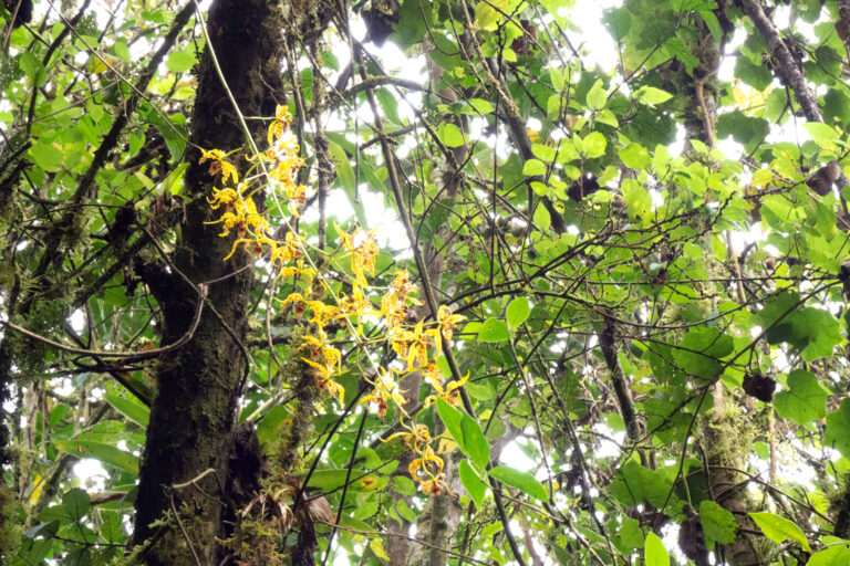
First we went to the lowest section of the park (at 10,367 ft) and walked around the Llaviucu lagoon. This is an area that the large tours don’t go to as the road in is narrow and windy. Looking at the landscape you can see the work of glaciers in the U shape of the valley. It was a homestead of a German immigrant who established a brewery. The beer was called Azuay after the state. All that’s left now are the shells of a couple buildings. We saw several new birds (I finally saw the Turquoise Jay) but, not the Mountain Toucan that lives in this area. We could hear it and see the fruits it had been eating on the forest floor. The cloud forest was so dense that it made it hard to see the birds we could hear. I think if we returned we would spend our time at the elevated walk way that looked out over the lagoon. Orlando pointed out some really tiny orchids that I would have missed. This would be a great place for plant lovers to visit as well.
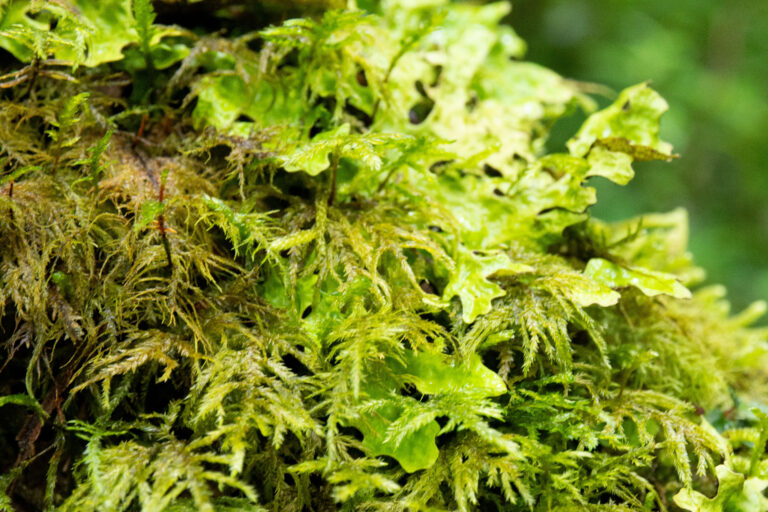
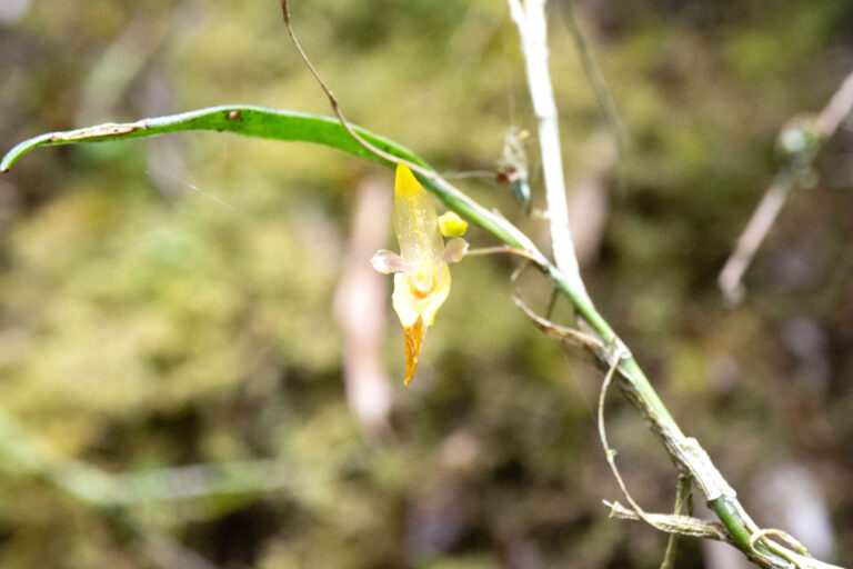
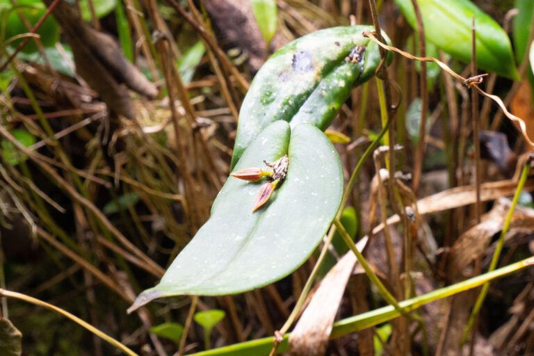
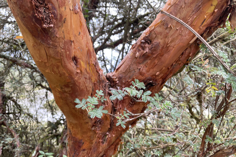
This forest is also home to Polylepis (or Paper) Trees which are found only in the Andes Mountains. Their bright red bark is very distinctive.
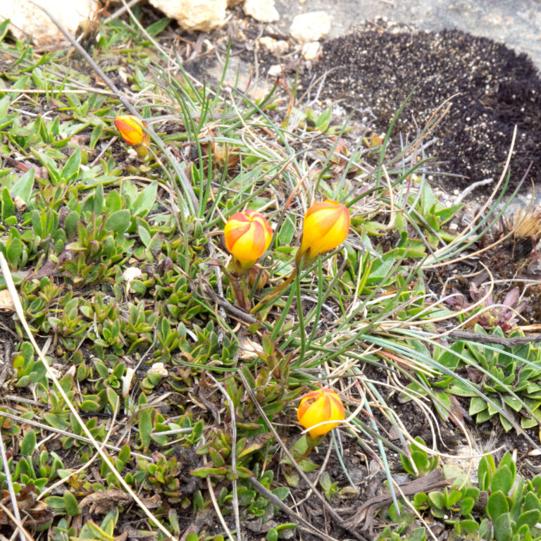
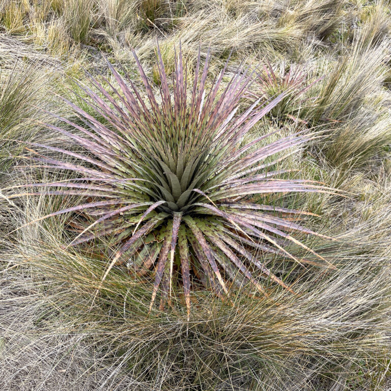
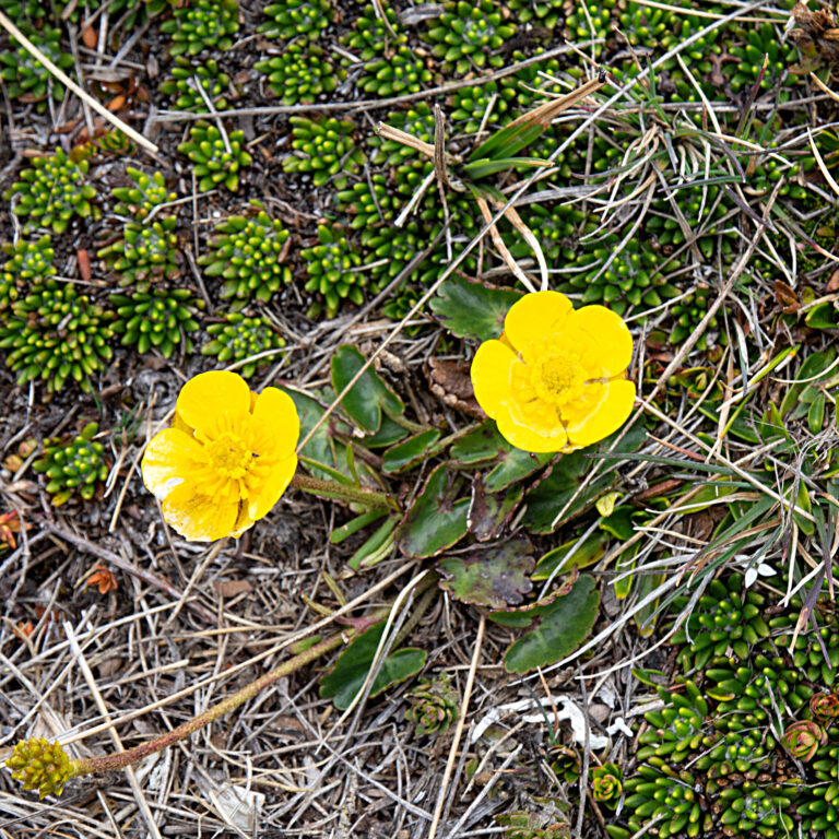
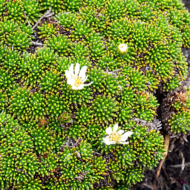
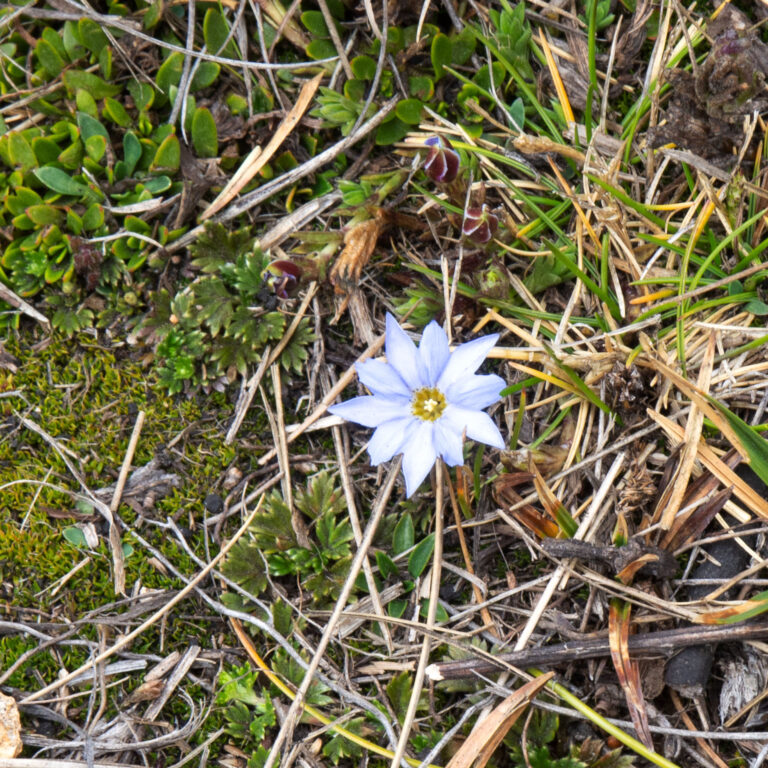
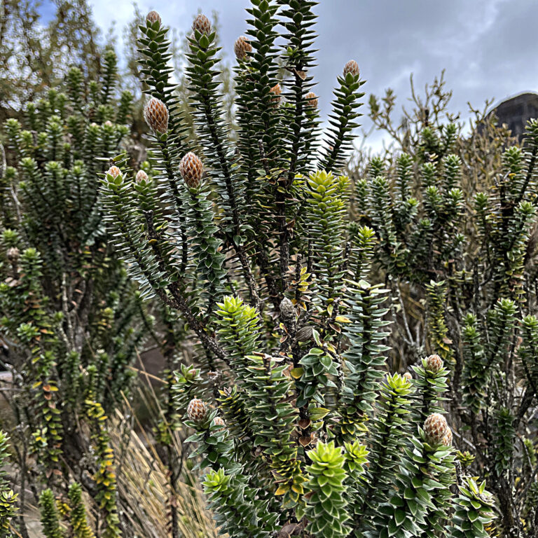
After our leisurely walk we loaded back up in the car and headed up and up and up. When Orlando suggested this tour he did say we would visit the lowest and highest areas of the park. I trusted him and didn’t bother to check the elevations. Turns out the highest point is over 14,000 feet. For comparison Trail Ridge Road in Rocky Mountain National Park tops out at 12,183 feet. We have only been this high a couple of times. The landscape of the paramo is a kind of moor land dotted with lakes (which are the source of Cuenca’s wonderful drinking water via the Tomebamba and Yanuncay Rivers) and interesting plants. We just did a short walk here but, we were really out of breath coming back up the hill to the parking area. Some of the plants are endemic here and Orlando was quick to point them out. On the way back to town we stopped by the Laguna Toreador Visitor Center which has an incredible view and more information about the park
Ingapirca
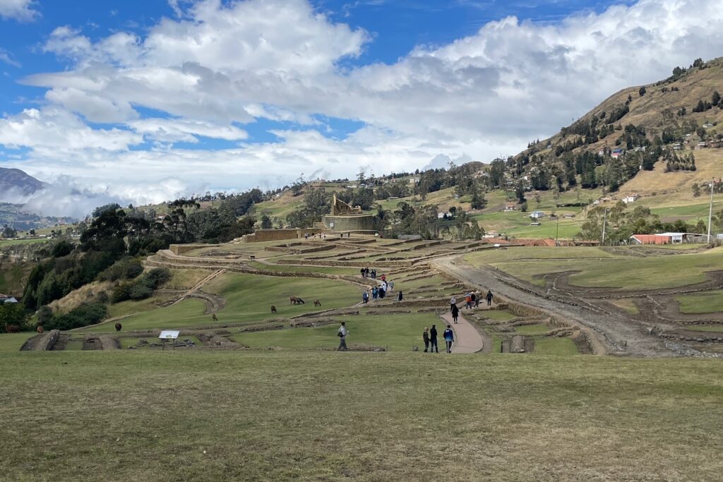
The Incas didn’t just live in Peru. Their empire stretched from southern Columbia into northern Chile. There are ruins (Pumapungo) in the city of Cuenca and within Caja National Park. The largest ruins in Ecuador are about an hour outside of Cuenca so, of course we had to go.
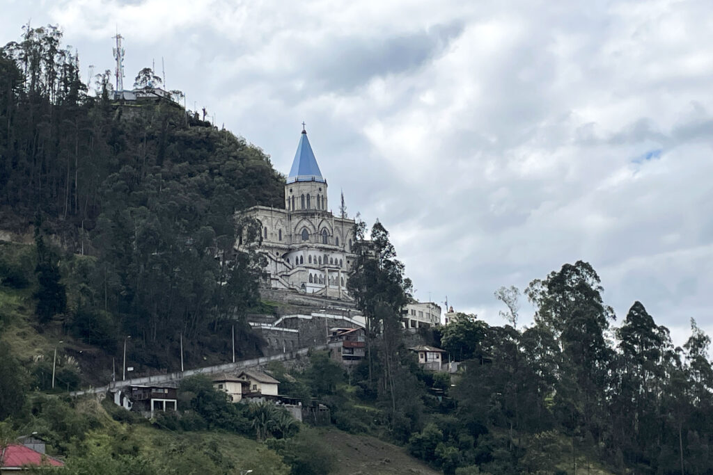
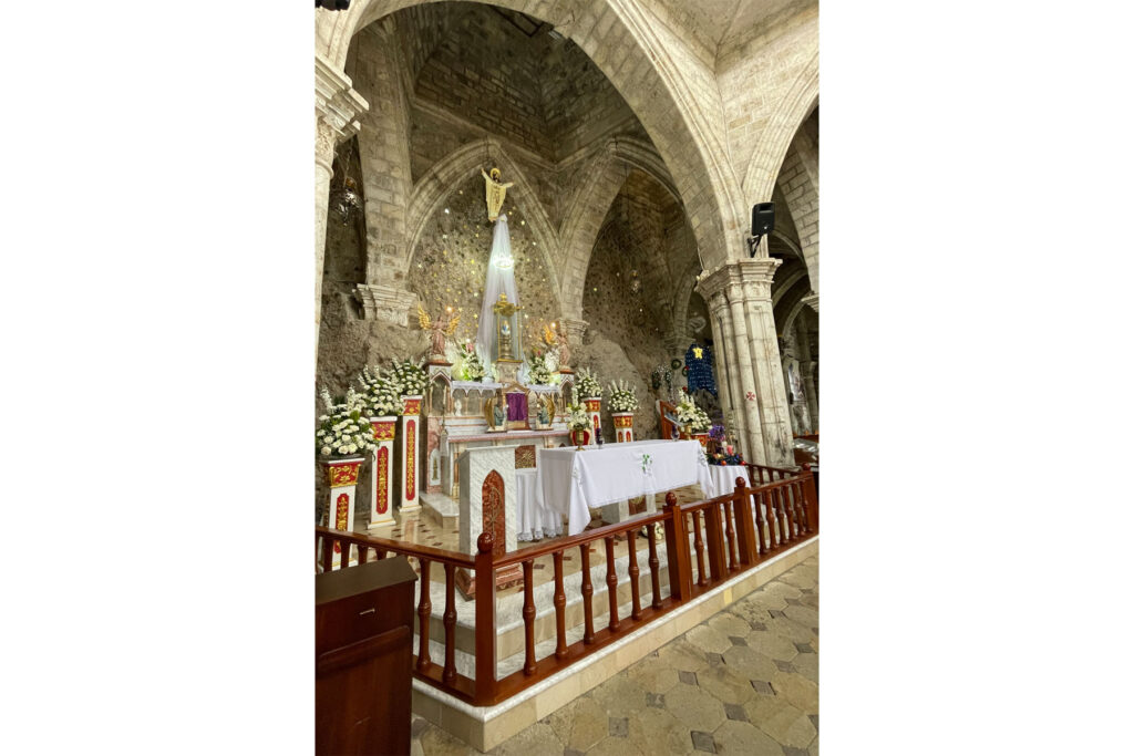
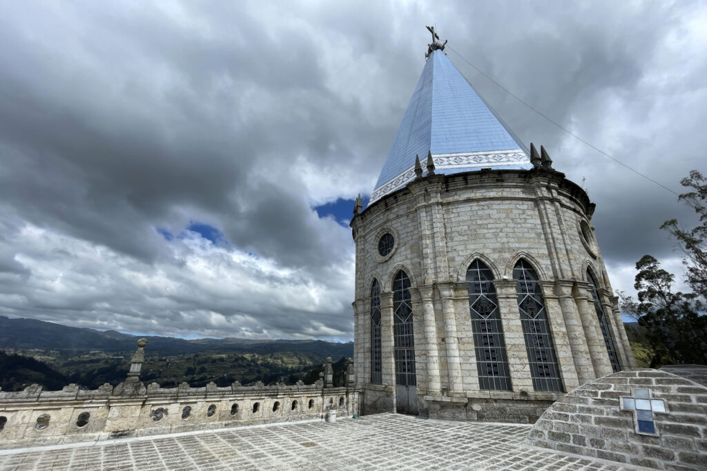
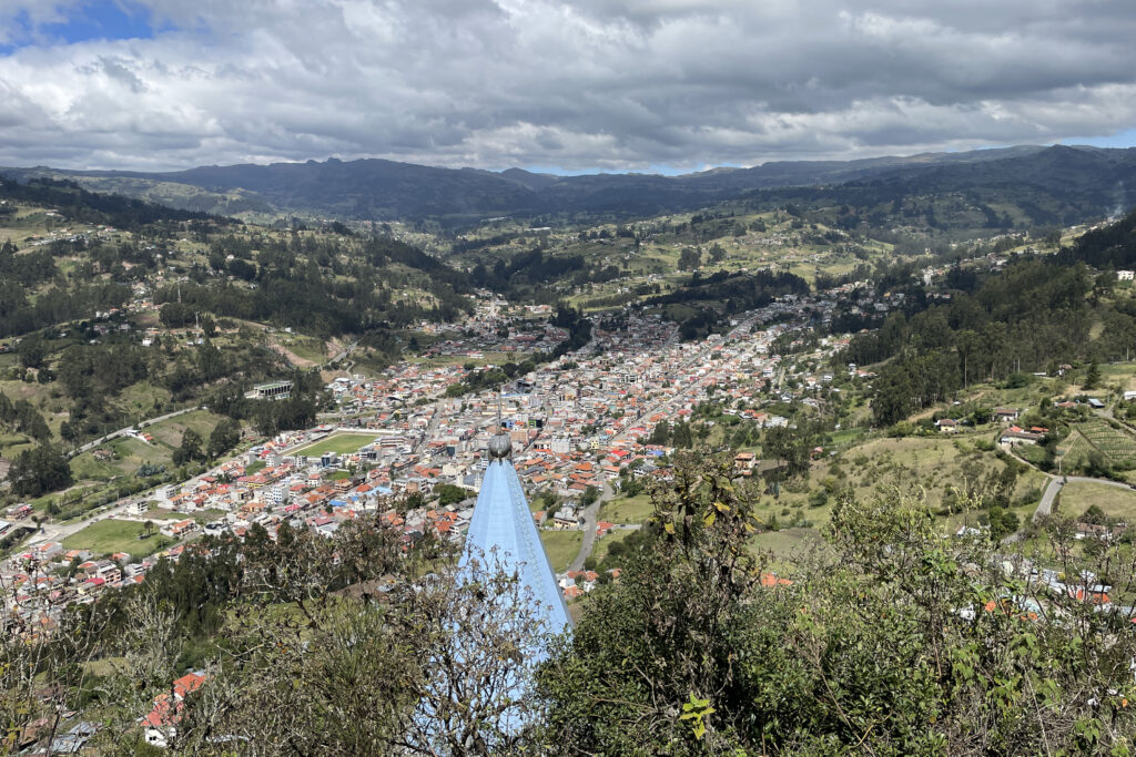
First we would need to make a stop in the town of Biblián at El Santuario de la Virgen del Rocío (Sanctuary of the Virgin of the Dew). In 1883 a long drought was killing both crops and livestock. A farmer placed a statue of the Virgin Mary high on the hillside and walked up to pray every day. Soon after the rains came. The church is built into the side of the mountain. There are exposed rocks inside at the altar which was decorated for Christmas when we visited. We walked up the path above the church that serves as the Stations of the Cross for a wonderful view across the town and to the mountains beyond.
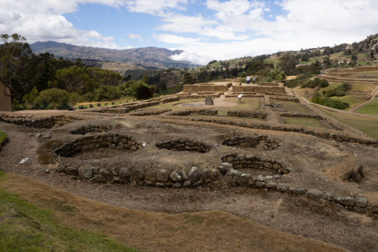
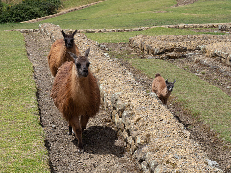
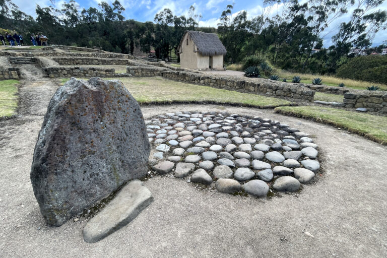
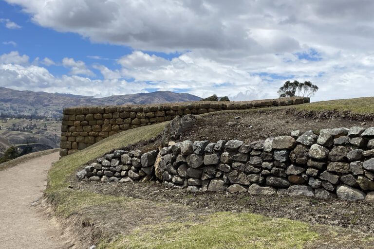
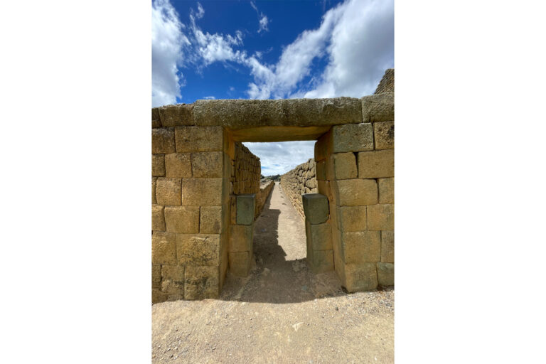
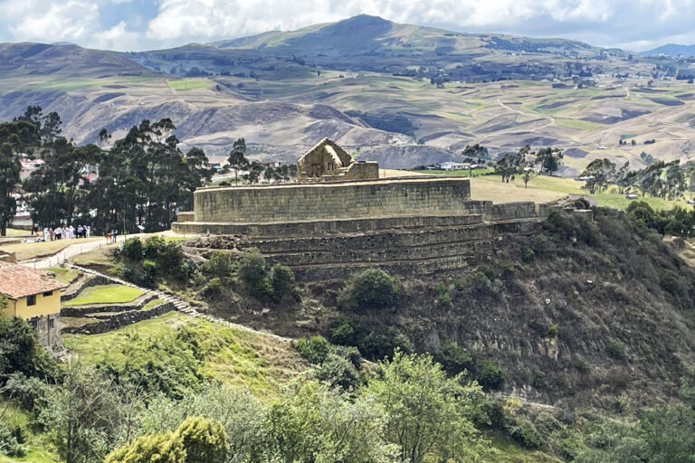
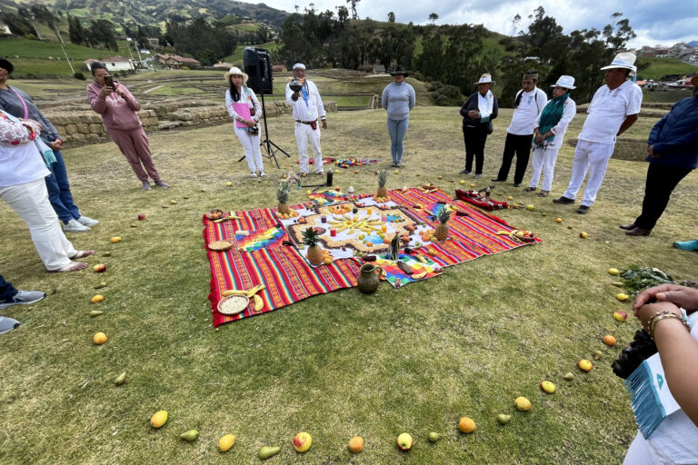
Ingapura was the home to a group of indigenous people called the Cañari. The Incans didn’t conquer these people in the traditional sense. The Incan ruler at the time (Túpac Yupanqui ) married a Cañari princess and set about improving other Cañari towns (most notably Pumapungo). You can see examples of the construction techniques of both groups at this location. The Incan walls are built without mortar. One of Túpac Yupanqui’s sons built The Temple of the Sun. It is unusal for its oval shape. It is also interesting that the Cañari worshiped the moon and are believed to be led by women. Incas only ruled here for about 70 years before the Spanish arrived. They were already weakened by a civil war between two of Túpac Yupanqui’s sons by this time. Our visit was the day after the winter/summer solstice. The Inca worshipped the sun and we were lucky enough to take part in a ceremony conducted by local peoples. It was hard to follow the Spanish but, we were reminded of our connection to the earth and that our health is tied to it. The officiant blessed our hands, heads, bodies and feet. I really felt welcomed and enjoyed getting to be a part of the proceedings.
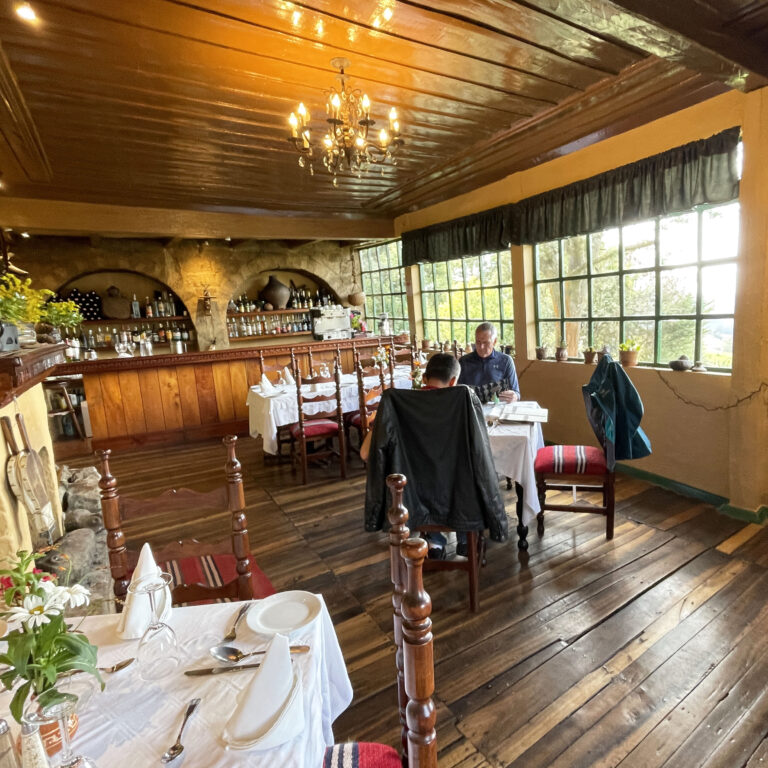
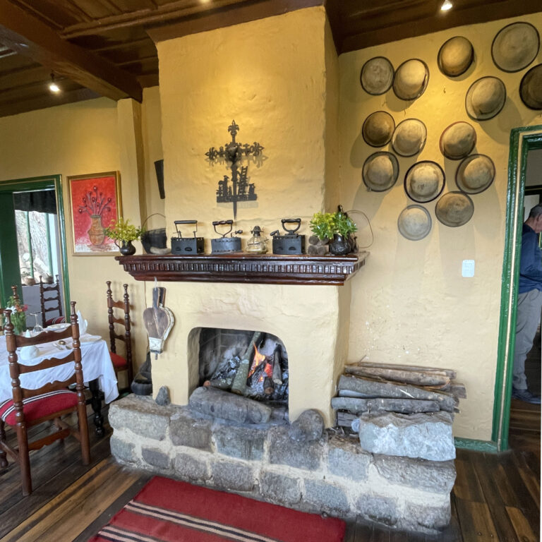
I asked about a place for lunch that might have some of the local trout, so Orlando took us nearby to an old hacienda that is now a hotel. We had a great lunch in the beautiful dining room (and we spotted another new bird). This would be a nice place to stay as it looked down on the ruins and was so quiet and peaceful. I checked in iOverlander and they will let you park here for a small fee. I would love to come back to this area. Perhaps to do a hike on part of one of the Incan trails that passes through this area.
